 |
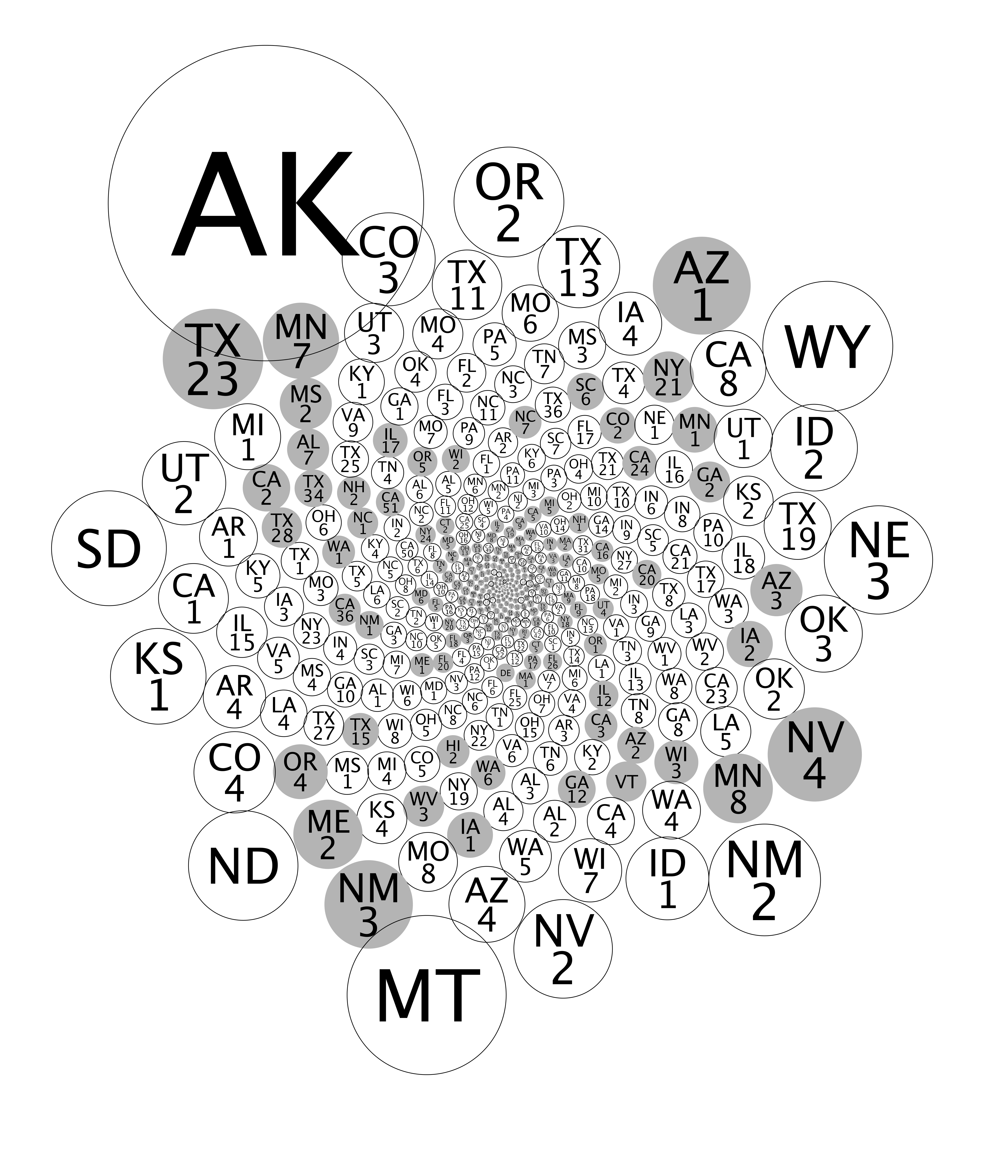
| District identification key for "What's Eating Alaska." |
The image above is the key for identifying the congressional districts in my sculpture, "What's Eating Alaska," being exhibited June 16 - August 22, 2014 in the AAAS/WSG show, Gedankenexperiment.
Though the image has a size of several MB, you still won't be able to read the labels on the smaller congressional districts, for those go to the GigaPan.
Each circle has an area proportional to the land area of the congressional district it represents—it's what the map of the U.S. would like if you stirred the geography and allowed the smaller congressional districts to settle to the middle. The country's political polarization by population density is evident.
This Google Drive folder contains the Processing code and a text file with the congressional district data.
 |
| "What's Eating Alaska" on exhibit at the AAAS Gallery in Washington, DC. |
No comments:
Post a Comment